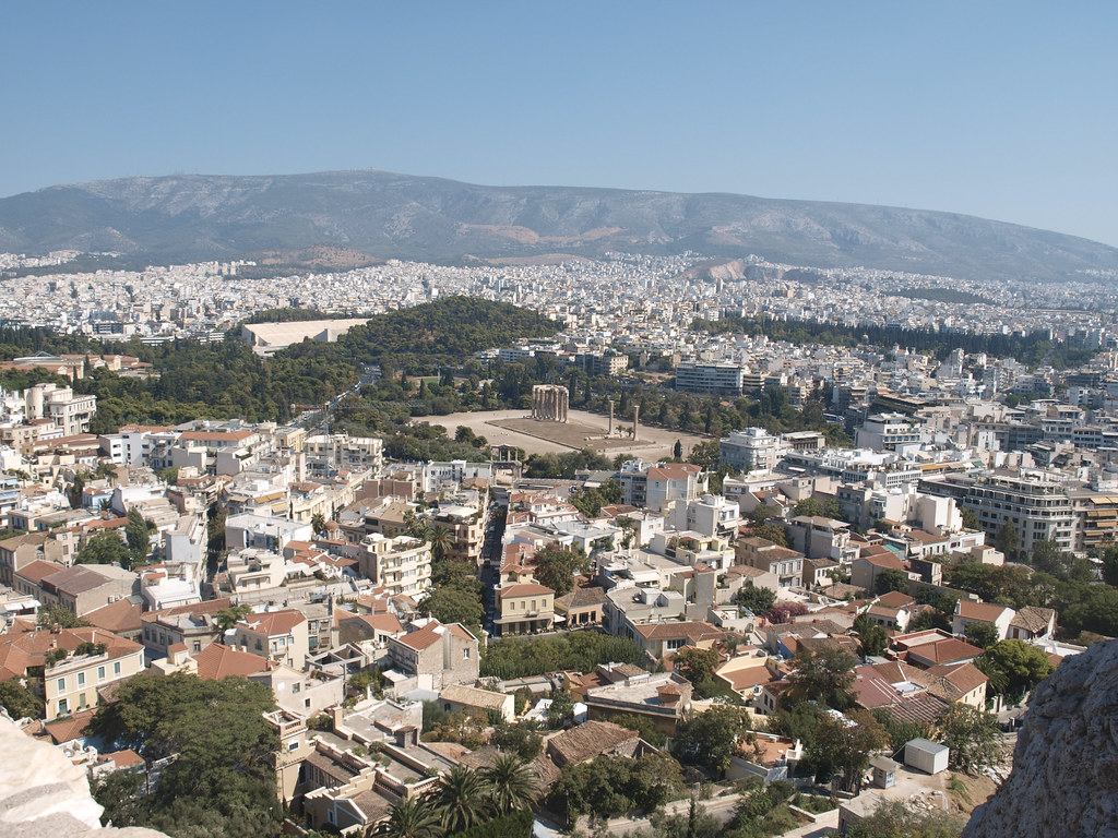
A dozen walkers in running shoes, not hiking boots, gathered at the foot of Lycabettus Hill at 7 a.m. on a July morning. They bypassed the cable car queue entirely.
The group, part of the informal Athens Trail Runners collective-an unaffiliated community that has grown to over 1,200 members on WhatsApp since April 2025-climbed the loose-stone path behind the Aghiou Isidorou church. Within 20 minutes, they stood alone at the second-highest point in central Athens, watching the Acropolis emerge in the hazy sunrise, no tourists in sight.
Tourists flock to Lycabettus via the funicular railway (€10 round-trip) or the paved switchbacks from Kolonaki. But locals know the steep, unmarked trail that starts at the corner of Aristippou and Kleomenous streets, winds past a disused water cistern, and crests at the chapel of Agios Georgios without a single gift shop or ticket booth. The Athens municipality maintains the path as a quiet, unpaved alternative, yet it appears on zero major tour maps.
The Ilisos Revival: From Concrete to Canopy
Further south, a nature walk is quietly emerging along the Ilisos River, which for decades ran as an open concrete storm drain beneath Kallithea and Nea Smyrni. In a project launched by the Hellenic Society for the Protection of Nature in 2023, volunteers have planted 2,400 native trees-oleanders, plane trees, hackberries-along a 3.2-kilometre stretch between Syngrou Avenue and the Fix Metro station. The Ilisos Green Corridor, as it's now called, now hosts weekly guided walks organised by the Friends of the Ilisos group, which has 340 active members.
“It’s our version of the High Line,” says Maria Papadopoulou, a local architect who leads Wednesday walks at 9 a.m. “But nobody in Syntagma Square even knows it exists.” The path is largely shaded by late morning, and the only souvenir you’ll find is silence broken by the occasional kingfisher sighting.
Data from the Hellenic Statistical Authority shows that visits to the Acropolis and Plaka dropped 8% year-on-year in June 2026, while use of Athens’ peri-urban trails-tracked via counters installed at Lycabettus and Filopappou Hill-jumped 22% in the same period. For many Athens residents, the shift reflects a growing desire to escape the city’s density without leaving it.
Ymittos Trails: A Near-Wilderness 15 Minutes from the Centre
On the eastern edge of the city, the Ymittos mountain range offers a network of trails that locals call “the lungs of Athens.” The shortest and most secluded is the 4-kilometre Kaisariani Forest Loop, which begins behind the 11th-century Kaisariani Monastery (entrance: €4, but the trail itself is free). The route meanders through ancient olive groves and past the monastery’s restored water mill, then ascends to a view of the Attica basin that rivals any rooftop bar in the city centre. No food vendors, no signs in English, no Instagram podiums.
The Athens Municipality, in partnership with the non-profit Attica Green Network (AID: 402189, registered in 2024), has installed 12 marked trails with wooden signposts since March 2025. But the locals’ favourite-Trail #8, the “Cave Path”-remains unmarked. It starts near the small car park at the end of Georgiou Gennimata Street in Kaisariani and leads to an abandoned limestone cave used by shepherds until the 1950s. The cave entrance is visible only to those who know to look for the rusted iron gate half-hidden by blackberry bushes.
For those wanting to explore, the Friends of Lycabettus and Hills of Athens group organises free guided walks every Saturday at 8 a.m., meeting at the Dexameni Square kiosk. The schedule runs through September 2026. Their email list (info@folha.gr) sends trail updates with current conditions. As summer temperatures in Athens regularly hit 38°C by mid-afternoon, locals recommend walking before 10 a.m. or after 7 p.m., carrying at least one litre of water per hour, and wearing shoes with decent tread-the stone paths can be slippery even when dry.
Bring a hat. Leave the selfie stick at home. These are trails meant for breathing, not broadcasting.